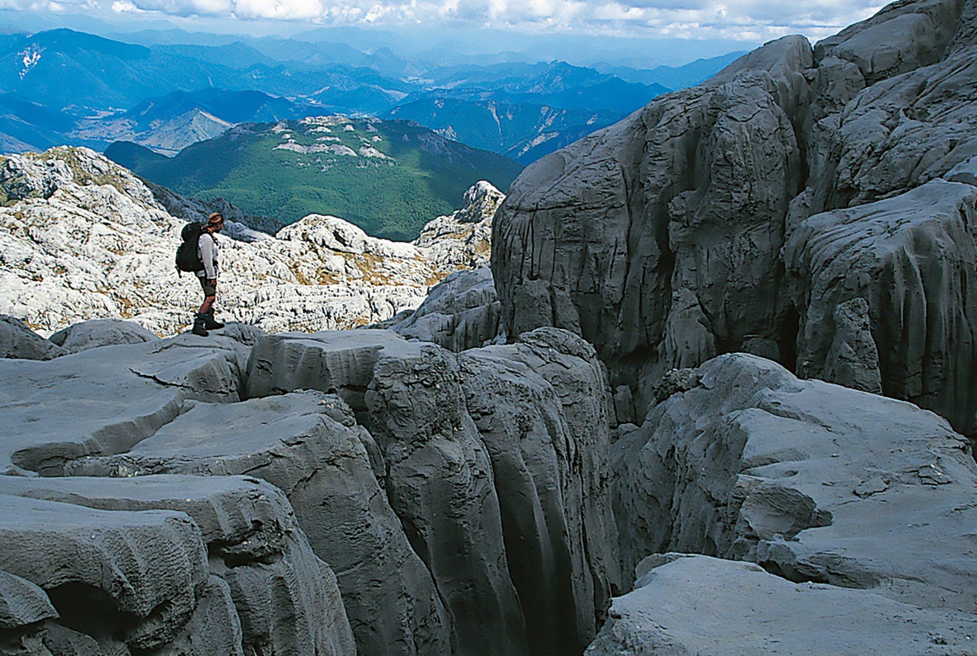
At 1875 m, Mt Owen is the highest peak in the area with views to match its lofty status across some very undeveloped and suitably rugged landscapes. The mountain can be approached both from the north and south. The routes up from the south—either via Sunrise Peak, Bulmer Creek or the Fyfe River—are all rewarding trips, although harder and longer.
The track along the dry Blue Creek is wonderfully varied, with mountain neinei dominating the scene, its unusual candelabra shape and ‘pineapple’ flowerheads being easily recognisable. Also along the track are fine examples of the rough-leaved tree daisy and some particularly impressive speargrasses that should be given a wide berth. This rich array of subalpine vegetation contrasts with bare rocky crags rising steeply overhead.
It would be a pity to hurry through this remarkable landscape, so it is well worth giving yourself an extra day or two to fully explore the various ridges and basins and the bizarrely sculpted limestone outcrops that abound across this plateau.
Above tarns, the cairned track weaves through a fascinating array of rough marble formations, water-worn flutings, vertical-sided crevasses and weird rock towers. A worthwhile side trip from here drops down the southern aspect of the mountain. This valley provides access to New Zealand’s longest cave network, the Bulmer System, which extends under Mt Owen for about 40 km and is the domain of serious speleologists.