


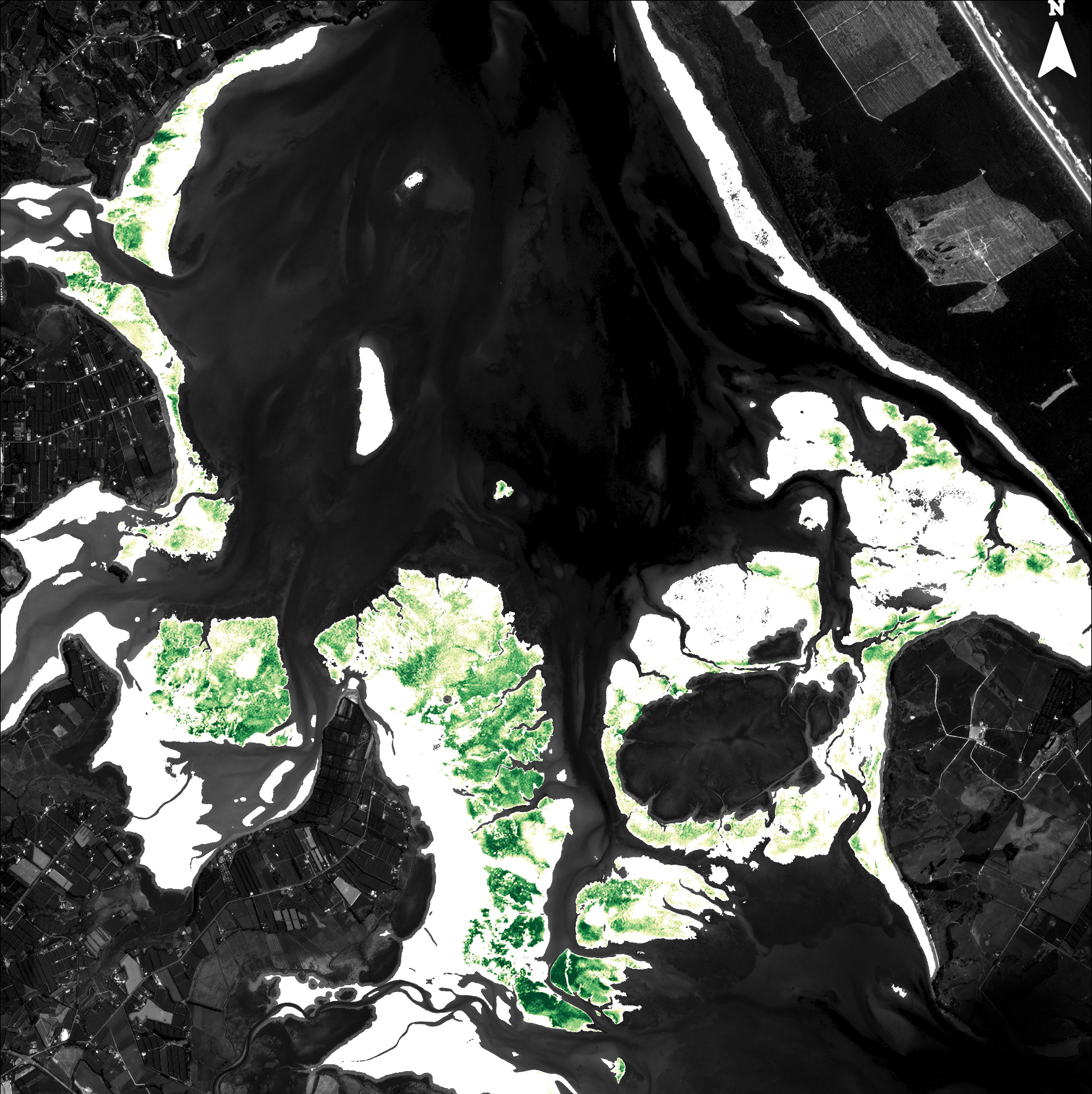
Seagrass is excellent habitat for fish, birds and invertebrates; it helps keep water clean by holding sediment in place; and it’s a superlative carbon sink. But all over the world, precious meadows of the stuff are disappearing, smothered in mud, or smashed by extreme weather. Now, scientists from the National Natural Science Foundation of China have figured out how to map such changes at scale, without even getting their feet wet: take pictures from space.
Satellite-imaging technology has previously struggled to recognise seagrass in situ—it’s easily confused with mangroves and salt marshes, as well as changing tides. But realising that light scatters off seagrass in a particular way, the Chinese team came up with an algorithm that helped map it, then spent four years using satellites to track 15 meadows across the world. Tauranga Harbour was one of the study sites; this image, taken near the end of the project in March 2023, shows the harbour with seagrass coverage picked out in green. Long may it stay that way.
More by Catherine Woulfe