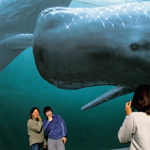
The blast of the harpoon may have given way to the click of the camera, but whales are still the cornerstone of commerce—and the subject of many a decorative mural—in the north Canterbury town of Kaikoura. In little more than a decade, marine ecotourism has transformed a coastal backwater into an international travel hotspot....
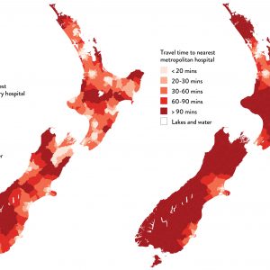
Health geographer Jesse Whitehead has been mapping New Zealanders’ access to healthcare, whether it’s the distance they have to travel to a vaccination clinic, or whether it would be more equitable to ensure vaccines are available at schools or GP clinics (it turns out that schools offer better coverage). These maps show the distance people […]...
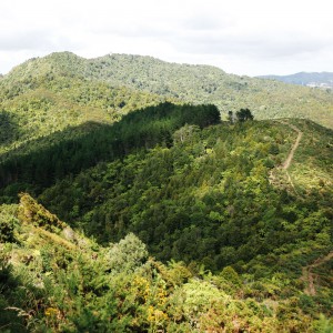
The track goes over Mt Tamahunga (437 metres) the highest accessible summit between Auckland and Whangarei. It’s named for Te Kiri, a Ngati Wai chief who in 1864 rescued 180 Waikato prisoners from Governor George Grey’s nearby Kawau Island estate and brought them here, beyond reach of the British military. The Government demanded that the […]...
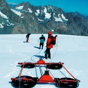
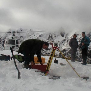
Old snow can tell us a lot about the past. As snowflakes fall, they collect whatever particles are in the atmosphere at the time—dust, volcanic ash, smoke, pollen. Then, as the snow accumulates and turns to ice, it freezes with it a record of what the weather was like dozens, even hundreds, of years ago. […]...
The earthquake that shook the southern South Island in the early hours of August 22 was the largest shallow quake in New Zealand since the destructive Inangahua shock of 1968. It had a magnitude of 7.1 and was centred near Secretary Island, on the west coast of Fiordland. Because of its remote location, it caused […]...