


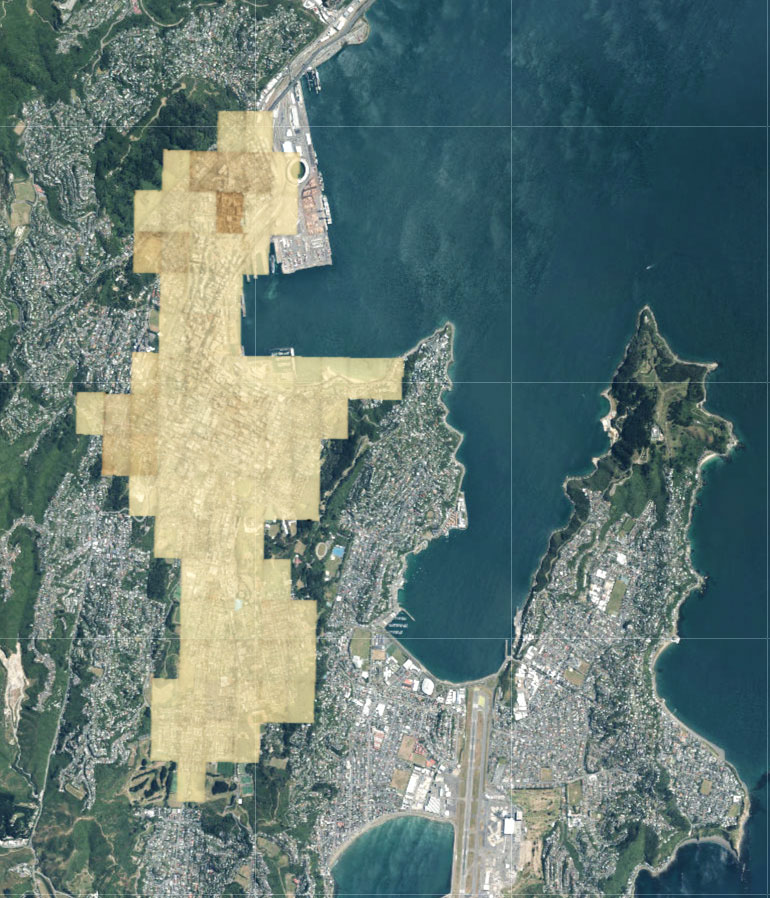
Rebekah White unfolds the little-known story of Thomas Ward, the surveyor who precisely mapped Wellington as the city ballooned in the late 1800s. Ward recorded the footprint of each building, right down to the corrugated-iron walls, porches and outhouses—and, like a Victorian version of Google Docs, his massive map was constantly updating. Whenever a building was bowled or extended or even got a fancy bay window, Ward drew the new version on a tiny piece of paper and pasted it on.
His map has now gone digital for real: it’s available as an overlay on satellite imaging of the modern city, showing the bones of the old beneath the new. At left is the area Ward’s map covers. To have a play, visit nzgeo.com/wellingtonmap.
More by Catherine Woulfe