OE McLeod with RM Briggs, CE Conway and O Ishizuka
Geoscience Society of New Zealand, $75 (more…)

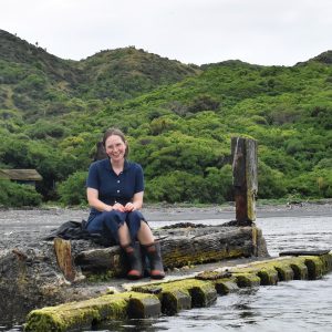
Karioi maunga towers above the Raglan coastline, shaping both the weather and the region’s famous surf. Those arriving in Aotearoa on the Tainui waka saw Karioi on the horizon, and some later settled on her flanks. Tasman noticed the mountain, too, and Hochstetter sketched it. Living here, I see its bush-clad volcanic slopes from my outdoor shower every day.
But until last year, little was known of the mountain’s geology, or its fiery formation. In his new book, and more importantly, a map, geologist Oliver McLeod tells a scientific story of its past—the eruptions, the ash flows, the lava, the landslides, the ever-shifting landscape. A story, he points out when we meet in Raglan: not the only one.
McLeod worked closely with mana whenua from all sides of Karioi during his research, and the book is prefaced by the two-page kōrero of kaumātua Sean Pōhau Ellison—in te reo Māori only, at Ellison’s request. McLeod and the various iwi quickly found common ground. “It’s like, who’s going to get tired first of talking about the maunga?” McLeod says.
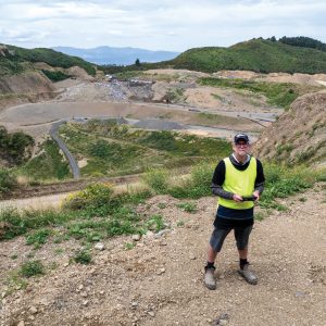
For several years, he tramped over and around Karioi, making 50 to 100 field trips all up, examining rocky outcrops for the clues he needed to make a detailed geological map. Karioi is the last significant volcano in New Zealand to be mapped in this way.
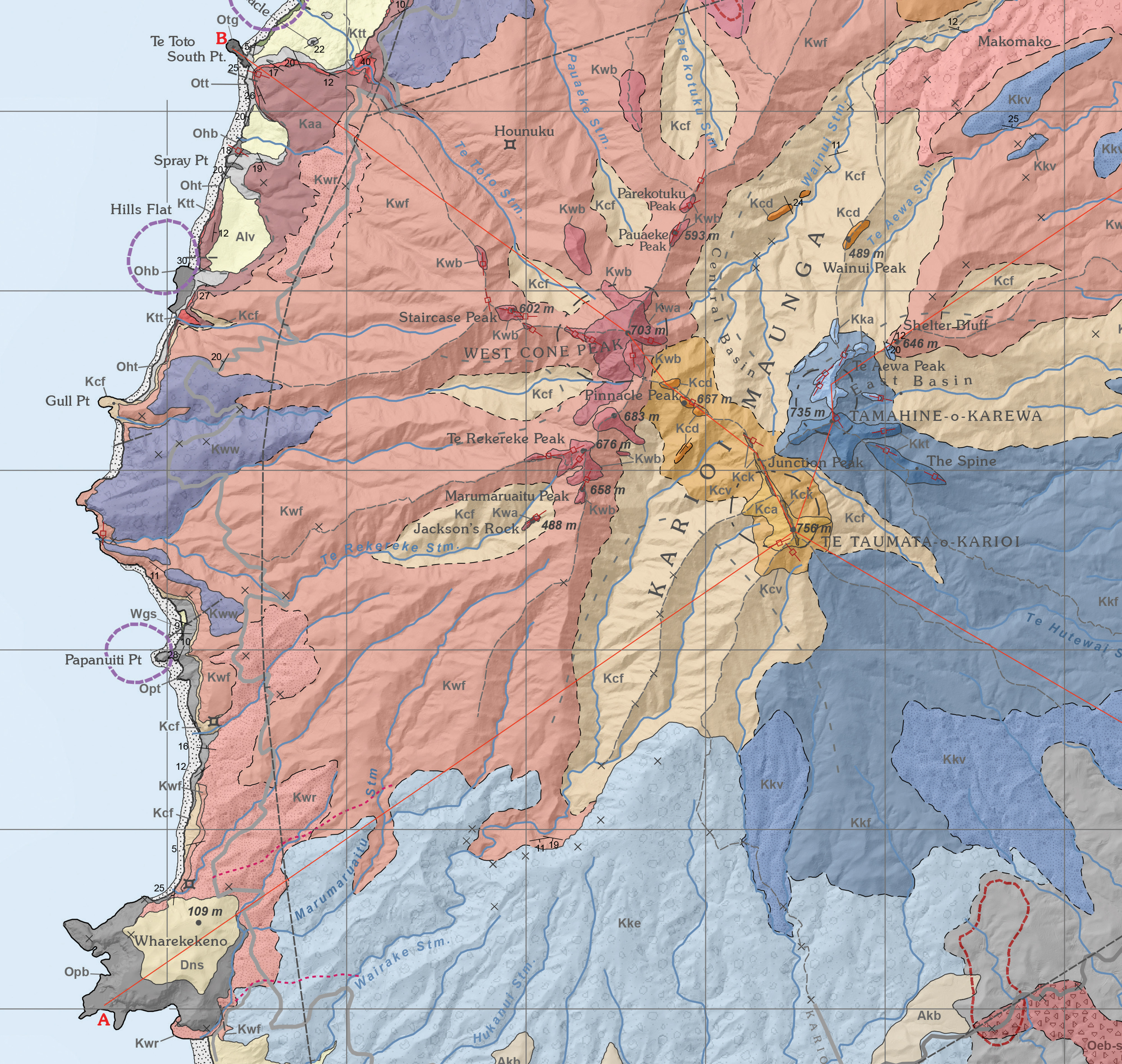
The result is a scientific paper in book form, parts of it quite technical and impenetrable to the lay reader. But the many photographs and images, and especially the main map itself (reproduced in part here), hold plenty of interest if you’re someone who loves this place, or wants a greater appreciation of the forces that have shaped our landscape over millennia.

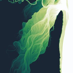
The key discoveries: McLeod worked out that Karioi was born 2.57 million years ago, and erupted on and off for roughly 180,000 years. I learned the rocky platform I stumble over with my surfboard at Manu Bay is a lava flow studded with clinopyroxene “megacrystals”, and the reserve above Ngarunui Beach, where I go with my family to watch the sunset and check the surf, was once Karioi’s steep central peak—before it collapsed and poured itself out over the landscape in a vast avalanche of debris.
McLeod also identified dozens of undersea volcanic vents between Karioi and the offshore island Karewa/Gannet Island—an echo of Tainui pūrākau about the children of the two mountains lying scattered between them. “My reading of that is that Tainui people well knew about those offshore volcanoes. Some of them correlate to fishing reefs,” says McLeod. “So the stories coincide.”
Geology itself is a kind of storytelling, he points out. The story of Karioi, then, has just gotten richer.